 This is a news post from TheGenealogist.
We have now linked all of our 1881 census records of England, Scotland and Wales to our powerful Map Explorer™ so that users can see the locations of houses plotted on georeferenced historic and modern map layers.

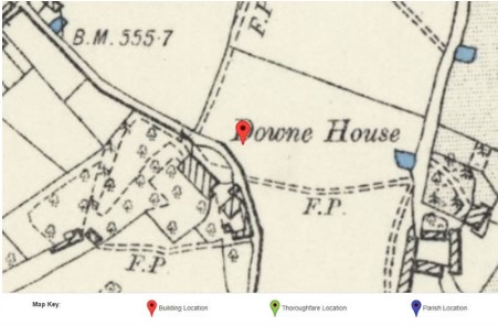
Unique to our website, viewing a household record from the 1881 census will now show a map pinpointing its location. Clicking on this pin opens Map Explorer™, enabling subscribers to explore the area and see the records of neighbouring properties.
With this new release, family and house historians are able to research the streets, lanes and neighbourhoods in which their ancestors lived at the time of the 1881 census. Joining earlier releases that saw the 1911, 1901 and 1891 census linked to the powerful mapping tool, researchers can easily identify with just the click of a button where their forebears once lived.


What an amazing map. I wish we had one for Canada.